
Franz Josef Rocks, Sinaia: a walk to the viewpoint
The Franz Josef Rocks overlook Sinaia from the forest above town. You can combine the viewpoint with Poiana Stânii Regale, but take care on the path after rain or in icy weather.
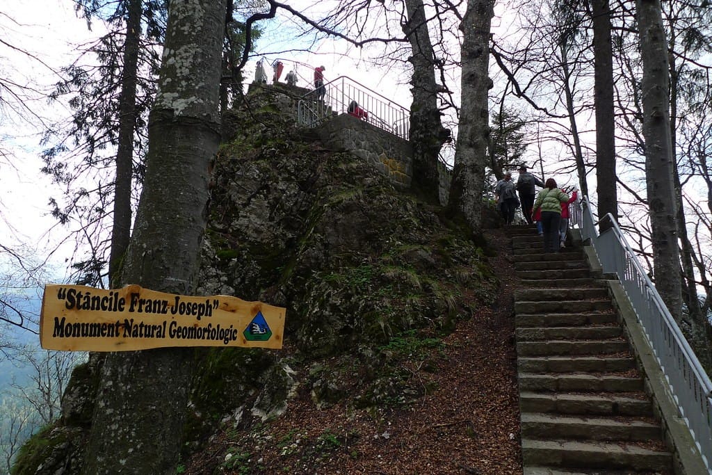
A viewpoint that belongs to Sinaia’s royal landscape
Stâncile Franz Josef, often written Franz Joseph Rocks in English, are a viewpoint in the forested area above Sinaia, close to Poiana Stânii Regale. Their appeal is simple: a change from a narrow woodland path to an outlook over the wider Prahova valley. The place is linked to the history of the royal resort, but it is also a natural rocky setting that deserves care.
Compared with the cable-car trip to Cota 2000, this is a lower mountain excursion. You reach the area through the forest rather than by stepping out of a high-altitude station. That may make it feel more approachable, but the walk still involves climbing and natural surfaces. A viewpoint reached on foot is not automatically an easy urban attraction.
Combine the rocks with Poiana Stânii when conditions permit, or make the lookout the focus of a shorter excursion from an appropriate starting point. Do not add it at the end of an already full day without checking the distance and daylight you need for the return.
Where the rocks sit in relation to the royal meadow
The viewpoint lies near Poiana Stânii Regale, in the wooded mountain area above the royal quarter of Sinaia. Travel descriptions connect the two places through forest paths and the historic approach known as Poteca Regală, the Royal Path. A visitor can make them part of one outing, but the exact route depends on where the walk begins.
Some people approach from the central town and the monastery area, while others use a higher starting point near roads or accommodation. These versions involve different amounts of walking and ascent. A short distance between the meadow and the rocks should not be confused with the total effort required from Sinaia railway station. Check your selected start in a current mountain map.
The area is inside the wider Bucegi mountain environment. Avoid assuming that every forest track is a signed shortcut to the viewpoint. When a path branches, follow official markings and any local access notices. If you cannot establish the correct route, turn back on the known path rather than continuing by guesswork.
The royal connection behind the name
The name recalls Emperor Franz Joseph and the European royal context in which Sinaia developed as a resort. It is part of the network of places associated with the Romanian royal family’s use of the area, along with the royal estate and the Royal Path. That history gives the outlook a different character from a random roadside panorama.
Historical accounts describe an arranged viewpoint with platforms, steps and railings intended to help visitors enjoy the scenery. However, heritage features can be repaired, altered or temporarily restricted. A photograph from decades ago is not evidence that the same platform or railing is usable today. Look at present conditions before stepping onto any structure.
The historic association is best appreciated as part of a slower walk. Spend time understanding where you are in relation to Sinaia and the hills, rather than treating the rocks only as a name to tick off a map. The combination of forest, architecture and open outlook captures something important about the town’s long-standing appeal.
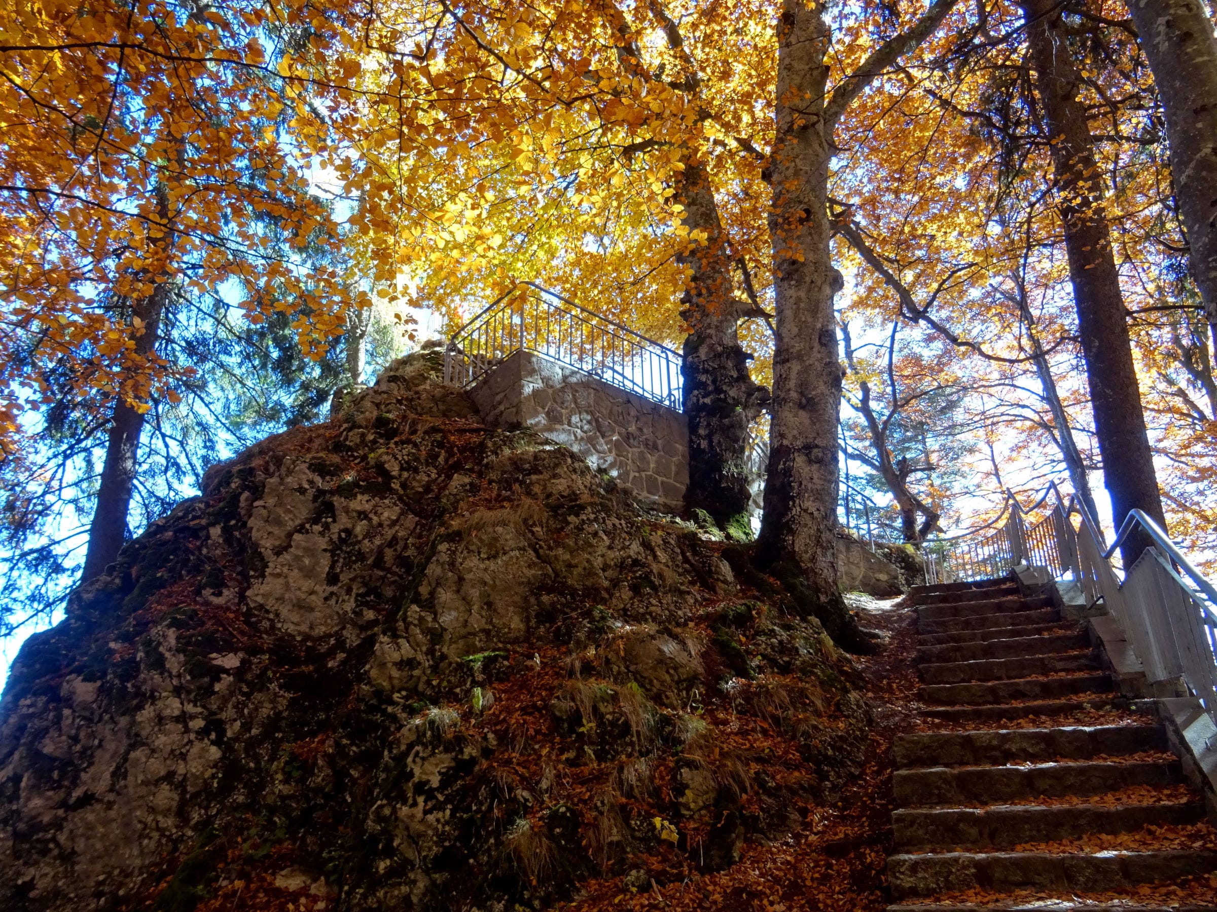
A sensible route towards the viewpoint
If you are walking from Sinaia, the marked approaches towards Poiana Stânii commonly involve the blue-stripe route and the old Royal Path. The Bucegi Natural Park describes a thematic itinerary running from Vulpărie through Poteca Regală and Poiana Stânii towards the Cota 1400 road. That official route is more extensive than simply walking the last short stretch to the rocks, and its published duration is not a station-to-viewpoint estimate.
Choose the route that fits your transport. Travellers arriving by train must first cross the town and gain altitude before reaching the forest. The path may include old paving, roots and uneven steps. Hiking shoes are advisable, even though the area is not a technical alpine climb in normal dry conditions. A water bottle and a spare layer make the outing more comfortable.
Start with enough daylight for both directions. Many problems begin when someone counts only the walk uphill and forgets the descent. If weather changes or the path becomes difficult to follow, return by the known marked route instead of searching for an alternative exit through the trees.
What you can expect from the outlook
On a clear day, the view takes in part of the Prahova valley and its surrounding slopes. It is a different perspective from looking up at the Bucegi cliffs while standing in the town. The appeal lies partly in recognising the valley from above: roads, settlements and forest layers become parts of a wider landscape rather than separate places.
Visibility is not guaranteed. Low cloud or fog may hide the panorama while the forest below remains attractive. Do not move beyond a safe lookout to search for a clearer view. A few metres farther onto exposed rock rarely justify the additional risk, especially when the ground is damp or snow-covered.
Photographers may prefer early or late light for softer colours, but the return hike must remain safe. If you plan to photograph near sunset, bring a headlamp and be realistic about your route; the forest becomes difficult to navigate in darkness. For most visitors, a daytime trip with an unhurried return is the better choice.
Rock, steps and railings: safety at the lookout
The viewpoint is associated with rocks and historic visitor arrangements, including steps and railings. Treat those structures as safety features, not invitations to move outside them. Check for wet surfaces, damaged sections or temporary barriers before stepping forward. Historic masonry can be uneven, and frost may remain in shaded places long after the town below looks dry.
Keep children close at all times and explain before arrival that there will be no climbing across barriers for photographs. Someone who is uncomfortable with heights can enjoy the forest and meadow without needing to stand at an exposed edge. The day is still worthwhile if part of your group waits in a safe place.
For travellers with reduced mobility, the rocky terrain and stair access require individual assessment. Do not confuse a relatively short final approach with a step-free attraction. Ask local visitor services about current accessibility and whether a more suitable viewpoint can provide a similar panorama.
Making Poiana Stânii part of the outing
Poiana Stânii Regale is close enough in the wider landscape to make a combined forest excursion attractive. The meadow offers open ground and a quieter place to pause after climbing, while the rocks deliver a more dramatic viewpoint. Planning them together makes sense when the weather is dry and your group can manage the distance.
Do not count on a mountain restaurant or shelter without confirming its current operation. Carry water and something to eat, and take all rubbish back with you. The meadow and surrounding forest are living environments, not extensions of a resort dining terrace. If you see wildlife, keep your distance and do not leave food behind.
The separate Poiana Stânii Regale hiking guide explains the Royal Path and its differences from a simple town stroll. Read it before choosing a route, especially if starting from the railway station rather than from a higher road access point.
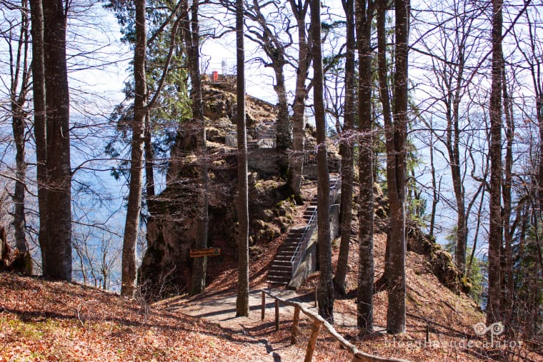
Which seasons work best?
In summer, the forest provides shade and the path can be enjoyable in settled weather. However, afternoon thunderstorms are a concern in mountain areas. If the forecast suggests lightning or heavy rain, do not choose a rocky lookout as the place to wait for conditions to improve. Turn back towards town on a safe route.
Autumn offers excellent forest colours but shorter daylight and slippery leaves. Spring brings wet stone and variable temperatures; small patches of ice may remain in shade. Winter changes the outing substantially. Snow and ice on steps, old paving and exposed rock can make an otherwise modest walk hazardous without specialist preparation and local advice.
A seasonal description such as “easy in summer” should never be read as permission to attempt the same route in freezing conditions. Consult current trail and weather information from the natural park and mountain rescue services. If the route is not suitable, Sinaia has plenty of other places to enjoy without climbing to a viewpoint.
Arriving from Bucharest or another resort
Visitors based in Bucharest can reach Sinaia by train, but the railway only takes them to the lower part of town. From there, the route towards the rocks involves walking through Sinaia and into the forest. A morning train is usually preferable to a late afternoon arrival when you intend to complete a real hike and return on the same day.
If you are staying in Bușteni, Azuga or Predeal, check the service that stops at Sinaia and allow time for the mountain route. Not every train calls at all intermediate stations. Drivers should use recognised parking places and avoid leaving a vehicle on a narrow forest road simply because a map shows a path nearby.
For an easier cultural day, visit Sinaia’s royal quarter and park instead. Those attractions still have walking and access considerations, but they can be planned more flexibly than a forest excursion. The station-to-Peleș guide helps decide how much climbing is involved.
A checklist for a good visit
Before leaving, identify the actual trailhead, check current markings, weather and the time needed for the complete out-and-back route. Carry water, suitable footwear and a charged phone with an offline map. Tell someone where you are going and when you expect to return. Do not rely on a single mobile signal bar or on finding staff at the viewpoint.
Stay on permitted paths and be aware of wildlife in the Bucegi forest. Never feed bears or follow animals to photograph them. If the route is closed, a railing is damaged or conditions are icy, choose another activity. A small historic viewpoint should not become the reason for a risky rescue call.
Emergency assistance in Romania is available on 112, while the Salvamont dispatcher number is 0725 826 668. For a calm visit, the important work happens beforehand: choose the right route, set a realistic pace and keep enough daylight for the walk down.
Route and background information
Route access and viewpoint conditions may change; check local information before departure.