
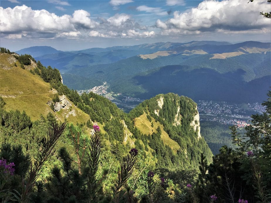
Hiking trails in Busteni: GPX maps, difficulty and Bucegi routes
Use this hiking trails in Busteni guide to compare routes from Urlătoarea Waterfall and Diham Hut to Jepii Mari, Valea Cerbului, Babele and Caraiman Cross. Check official Mountain Rescue data and download the GPX before you set out.
Bușteni trails range from forest walks to serious alpine hikes
The same town gives you a forest path to Urlătoarea Waterfall, a sustained climb toward Diham Hut, long days to Omu Peak and steep valleys that demand experience. The destination name alone tells you very little: the full route, direction, season and elevation gain matter.
For plateau hikes, the cable car can shorten the climb, but it does not remove wind, fog or the need to leave enough time for the return. On Jepii Mari, Jepii Mici and Valea Cerbului, your start time and a realistic retreat plan matter more than the pace predicted by an app.
Affiliate disclosure: some gear recommendations in this guide use affiliate links. They appear only where the item may be relevant; they do not replace route checks, preparation or Mountain Rescue advice.
A shorter option without alpine exposure, but the path can be slippery after rain and busy at weekends. If the forecast is unsettled, the MT500 trekking poncho, designed to cover a backpack up to 60 L can be a compact backup for showers; it does not make unsuitable footwear safe.
More than 1.600 m of estimated ascent from the GPX, a long retreat and a very early start.
Officially rated difficult, with more than 1.100 m of estimated ascent and closed in winter.
Autumn changes the trail, daylight and the whole day plan
If you are visiting Bușteni in the coming months, do not plan from a trail list alone. Combine the route with daylight, town options, Cantacuzino Castle, Caraiman Monastery, the plateau, a rain plan and a realistic return before dark.
Seven useful hiking routes around Bușteni
Compare distance, difficulty, season and the available data for each route. The page includes 7 detailed route cards with maps and GPX files, while the Verified Data section compares 9 relevant official routes from the Salvamont Prahova table. Dedicated pages are linked only where an English guide exists in our current structure.
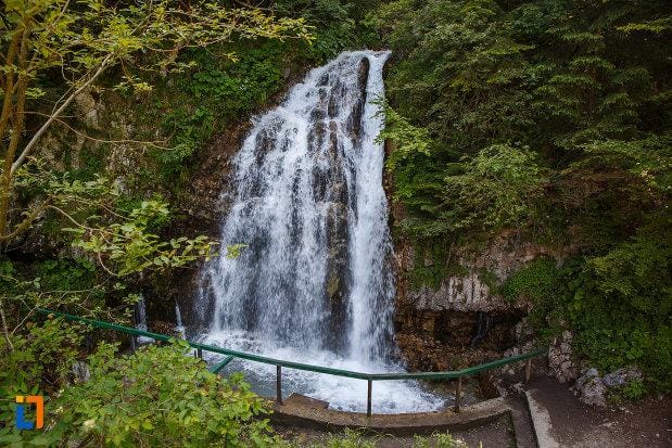
Bușteni – Urlătoarea Waterfall
A forest trail to one of Bușteni’s best-known natural sights. The Salvamont time refers to the approved route and does not automatically include the return or any additional walk to the trailhead. In mud or soft snow, the long MT500 trekking gaiters can help keep moisture and debris out from the top of the boot, but they do not provide grip on ice.
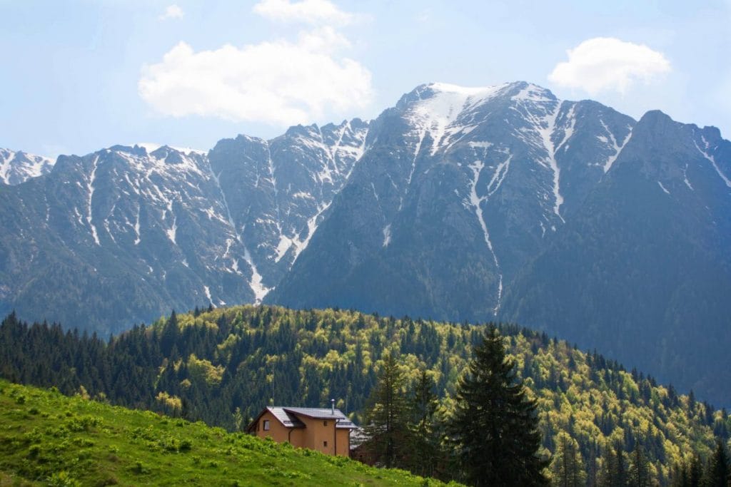
Gura Diham – Diham Hut
The GPX file covers only the Gura Diham – Diham Hut segment. Salvamont’s 2 h 30–3 h time and easy rating refer to the full route from Bușteni via Gura Diham and Șaua Baiului. On long forest climbs and descents, adjustable 115–130 cm trekking poles can help with rhythm and balance; collapse or secure them to the pack wherever you need both hands.
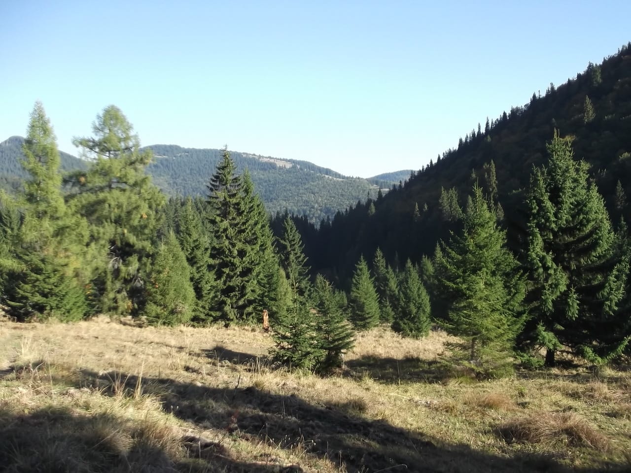
Bușteni – Poiana Coștilei
Poiana Coștilei is a junction on routes toward Valea Cerbului and Mălăiești. Salvamont does not publish a separate time or difficulty for this segment, so you need to plan it from your actual start point and the conditions on the day. For longer walking, the two-pair Hike 100 adult hiking sock set is worth considering only if the size and material suit the footwear you actually use.
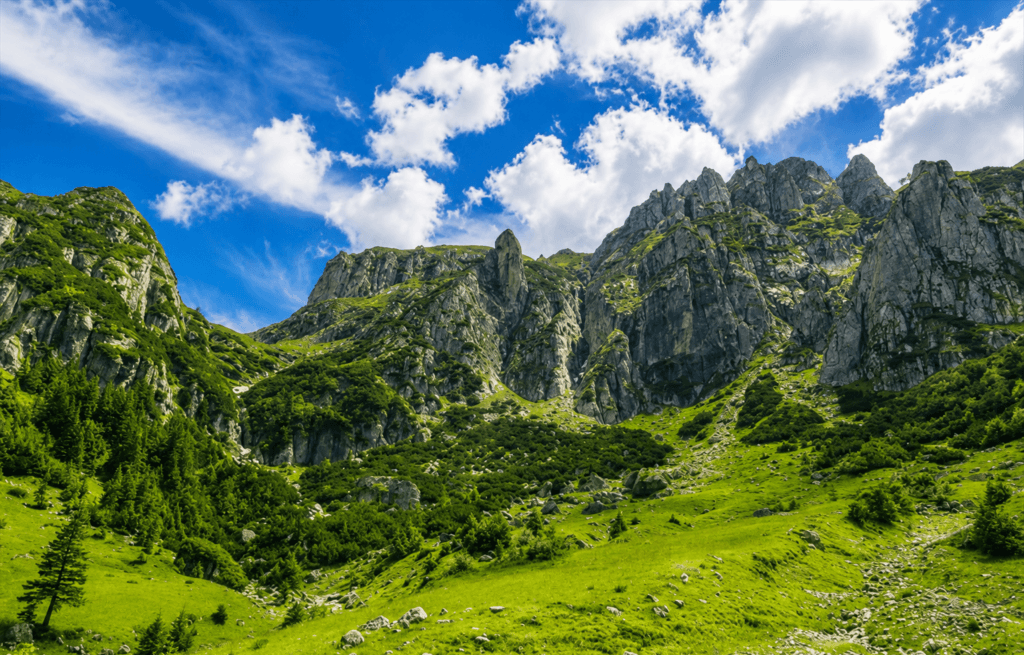
Jepii Mari – Piatra Arsă
A sustained climb through Valea Jepilor Mari and past Cantonul Jepi. Salvamont rates it difficult, requires a high level of hiking preparation and lists it as closed in winter.
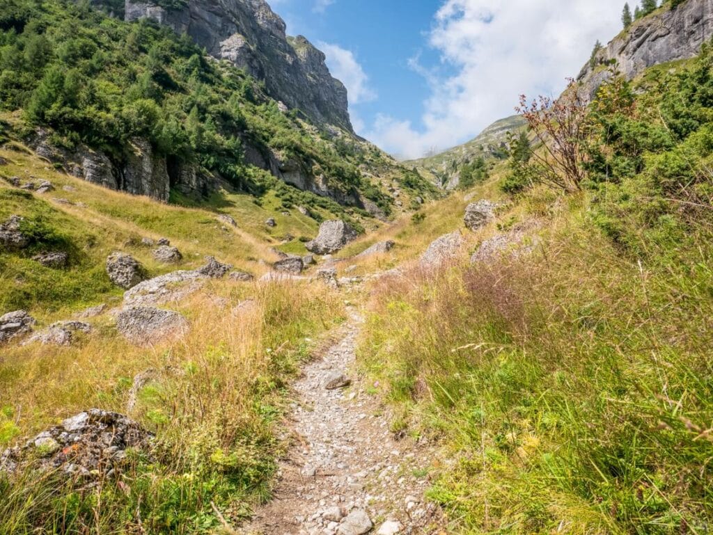
Valea Cerbului – Omu Peak
One of the most demanding climbs from Bușteni for sheer length and elevation gain. Salvamont officially rates the route moderate; the published time is for the ascent only and does not include your return. For a day this long, the 1 L quick-opening aluminium hiking bottle can be an easy-to-reach container, but one litre is not automatically enough water for this route.
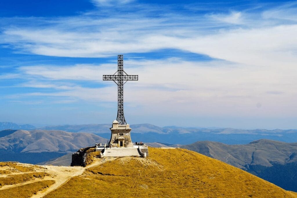
Babele – Caraiman Cross
A plateau route used after reaching Babele. Salvamont publishes times for the longer routes via Caraiman Peak and the Heroes’ Cross, not for the exact geometry of this GPX segment. In strong light, a pair such as MH530 category 3 hiking sunglasses can provide sun protection; category 3 lenses are intended for strong daylight, not for moving after dark.
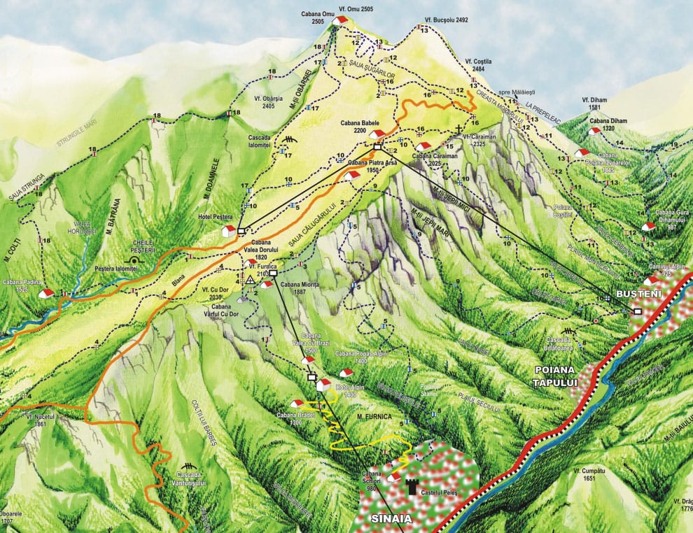
Babele and the Sphinx
A segment between landmarks on the Bucegi Plateau, fully exposed to wind, fog and thunderstorms. It is not listed as a separate approved route in the Salvamont table, and both cable-car operation and high-altitude weather must be checked on the day. For moderate wind and quick temperature changes, the HIKE 100 neck gaiter is a small layer that is easy to keep within reach.
Turn a route choice into a workable day in Bușteni
Check where you are staying, food after the descent, cable-car operation and the weather before you depend on any of them. For a compact reserve on a long day, the five-pack of date and berry energy bars can be kept within easy reach after checking the ingredients and allergens.
For Jepii Mari, Valea Cerbului, Omu or any day that depends on the first hours of daylight, check Bușteni accommodation for your dates before you arrive.
On the morning of your hike, check the weather, Mountain Rescue alerts and cable-car operation again.
GPS map and elevation profile
Choose a route to view its GPS line and estimated elevation profile. On phones, the interactive map loads only when you press the button, which saves data and resources.
Choose a route from the list and open the map when you need the detail.
The elevation profile and ascent are estimates and may differ from what your device records on the trail. Use an offline map as well, follow the trail markings and turn back when conditions deteriorate.
Approved routes relevant to Bușteni
Times, difficulty and seasonal status come from the Salvamont Prahova route table. They are planning references for the full route named, not round-trip times and not a live status. The official table does not publish a separate time for simply reaching Poiana Coștilei or for a Babele–Sphinx circuit.
Bușteni – Urlătoarea Waterfall
Source: Salvamont Prahova, route 6.
Bușteni – Gura Diham – Șaua Baiului – Diham Hut
Source: Salvamont Prahova, route 13.
Bușteni – Valea Jepilor Mari – Cantonul Jepi – Piatra Arsă Hut
Source: Salvamont Prahova, route 3.
Bușteni – Valea Jepilor Mici – Caraiman Hut – Babele Hut – Hotel Peștera
Source: Salvamont Prahova, route 5.
Related English guide: Jepii Mici trail guide
Bușteni – Plaiul Fânului – Poiana Coștilei – Valea Cerbului – Omu Peak Hut
Source: Salvamont Prahova, route 2.
Bușteni – Căminul Alpin – Plaiul Munticelului – Poiana Coștilei – Pichetul Roșu – La Prepeleac – Mălăiești Hut
Source: Salvamont Prahova, route 4.
Bușteni – Gura Diham – Poiana Izvoarelor Hut – Pichetul Roșu – La Prepeleac – Bucșoiu Ridge – Omu Peak Hut
Source: Salvamont Prahova, route 12.
Babele Hut – Caraiman Peak – Heroes’ Cross – Spinarea Coștilei – Șaua Șugărilor
Source: Salvamont Prahova, route 7.
Related English guide: Caraiman Cross visitor guide
Caraiman Hut – Heroes’ Cross
Source: Salvamont Prahova, route 11.
Related English guide: Caraiman Cross visitor guide
On the Bucegi escarpment, decide to turn back before exhaustion makes the decision for you
Do not treat “I have equipment” as an exception to a seasonal closure. Check the Salvamont list before setting out.
Wind, fog, maintenance and operator decisions can stop the cable car. Keep a return plan that does not depend on the final cabin and carry your own light source. A model such as the rechargeable HL500 USB V3 headlamp, 300 lumens must be charged and tested before the hike.
The official time is for the climb to Omu. Your descent, weather and remaining daylight have to be calculated separately.
Brâne routes and steep alpine valleys require specific experience, suitable conditions and, for most visitors, an authorised mountain guide.
What to keep within reach on Bușteni hiking trails
Pack size and contents depend on the complete route, season and forecast. Water, a spare layer, an offline map and a fixed turnaround time remain priorities.
For a day hike, the lightweight 22 L MH500 Light technical backpack can be considered as a basic volume for water, clothing and personal items. Check the fit and do not load a brand-new pack for the first time on a long hike.
Your personal first-aid kit must match the group and route. One example to compare is the 47-piece first-aid kit, which can be a starting point for basic supplies but does not replace personal medication, first-aid knowledge or calling emergency services.
For full preparation, use our guides on packing for a hike, mountain clothing, useful maps and mountain safety.
The railway station is central, but the trailheads are spread around town
Bușteni works well for arriving by train. From the centre you can walk toward several trailheads on the Bucegi escarpment, but the distance to the actual start varies by route. For Urlătoarea Waterfall, the Jepi routes or Valea Cerbului, confirm the exact entry point and trail marking before you leave town.
Gura Diham is a separate access point reached by a local road, so road condition and parking need a same-day check. For plateau routes, the Bușteni–Babele Cable Car can shorten access, but its timetable and operation are dynamic.
Most of the high-mountain routes on this page enter Bucegi Natural Park. The visitor fee is separate from cable-car tickets. Check the current park ticket before your hike.
For the wider protected area, plateau landmarks and route context, use the Bucegi Mountains guide.
Accommodation for an early start and food after the descent
For Jepii Mari, Valea Cerbului or a route toward Omu, sleeping in Bușteni avoids morning road traffic and makes an early daylight start easier. After the descent, choosing a restaurant near where you finish saves an unnecessary walk across town.
Choose the area around your trailhead
The centre is practical for trains and restaurants, the cable-car area for Babele access, while a northern base may work better for Gura Diham. Check the real walking distance, not just the pin on a map.
Choose around your descent point
After a long hike, compare restaurants in the centre, Poiana Țapului or around Cantacuzino Castle. At weekends, checking opening hours and booking ahead can save a long wait after your descent.
Some links to booking services are affiliate links; if you book through them, the portal may receive a commission at no extra cost to you.
Information checked on 11 August 2026
The times and seasonal status in the table are official planning references. Weather, alerts, trail conditions and cable-car operation must be checked again on the day you hike.
Seen something that needs updating?
Trail markings, access, water sources and path conditions can change. A recent, precise observation helps us keep this guide useful for the next hikers.
Contribute to the Bușteni hiking guide
Send a correction, a trail photo or a GPX file. We review the observation and compare it with available sources before publication.
Do not use this form for emergencies. For accidents, missing hikers or dangerous situations, call 112 immediately or contact the Salvamont Prahova dispatch at 0244 311 922. This form is not monitored continuously.
Send a field observationYou can send a correction, a photo or a GPX file.
Fields marked with * are required. Your name and email are used only if we need clarification.
Questions before hiking from Bușteni
What is a shorter hike from Bușteni?
Salvamont lists 45–60 minutes for the Bușteni – Urlătoarea Waterfall route. That is a planning time for the official route; the return, crowds and trail conditions must be added separately.
How long does Jepii Mari take?
Salvamont publishes 3 h 30–4 h for Bușteni – Valea Jepilor Mari – Cantonul Jepi – Piatra Arsă Hut. It is officially rated difficult and is closed in winter.
How long does Valea Cerbului to Omu Peak take?
For Bușteni – Poiana Coștilei – Valea Cerbului – Omu Peak Hut, the official time is 5 h 30–6 h 30. It does not automatically include the descent or return to Bușteni.
Can I reach the trails without a car?
Yes. Bușteni railway station is central and several trailheads can be reached on foot. Gura Diham is farther away, while plateau routes often depend on the cable car or a separate mountain ascent.
Is the GPX file enough for navigation?
No. A GPX is a navigation aid. Also carry an offline map, follow the trail markings, check visibility and turn back when safe navigation is no longer possible.
Which trails are closed in winter?
Jepii Mari is closed in winter, while Jepii Mici is closed between Bușteni and Caraiman Hut. Several sections toward Omu, Mălăiești and the Heroes’ Cross are also closed. Check the full Salvamont closure list before you leave.
Choose by terrain, not by the name of the attraction
In Bușteni, the difference between a forest walk and a serious alpine hike can begin only a few streets apart. Compare the complete route, download the GPX, check closures and keep enough daylight for the return.
Static route data checked: 11 August 2026 · Check current conditions again on the day you hike.