
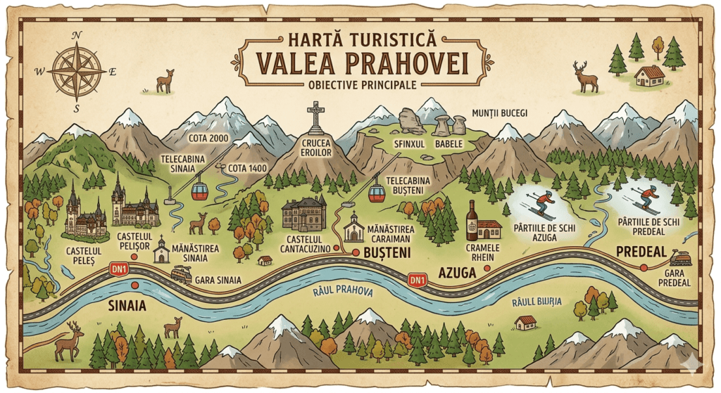
Interactive tourist map
Prahova Valley map: 7 places and 44 attractions
Use this Prahova Valley map to choose one of seven areas and then a specific attraction. It shows the DN1 road corridor, the railway and, where available, an indicative driving, walking or mixed-access route.
- Places
- 7 places
- Attractions
- 44 landmarks
- Routes
- 44 route guides
Interactive orientation
Choose a place and attraction
The map opens with the full corridor. Choose a place to reveal its attractions, then select a landmark to draw an indicative route suited to its access type. When an English guide exists on the portal, the route card links to it.
Loading map…
Choose a place on the map, from the list or from the menu. On mobile, map panning is disabled at first so the page remains easy to scroll.
Access type matters.Driving routes stop at the closest routable point and any remaining segment is shown as a dotted connector. Mountain routes on this map do not replace trail markings, weather checks, proper equipment or access restrictions.
DN1, railway and the eastern branch
Six places on the main corridor, plus Valea Doftanei
Breaza, Comarnic, Sinaia, Busteni, Azuga and Predeal follow the DN1 road and main railway corridor. Valea Doftanei branches east and requires road-based planning.
Complete attraction index
Attractions by area
Open an area to see its full list. Only attractions with an English page in our current guide structure are linked; other landmarks are kept on the map without inventing an English URL.
01 BreazaDN1 + railway Attractions and context
Breaza is the southern entry in this map selection. Its parks and heritage sites suit a quieter stop away from the busier mountain resorts.
- Brancoveanu ParkPark
- Toma Cantacuzino ManorHeritage
- Saint Nicholas ChurchHeritage
- Saint George ChurchHeritage
02 ComarnicDN1 + railway Attractions and context
Comarnic stretches along the valley toward Posada. Distances to the museum and historic sites are larger than a regional map may suggest, so checking the route before leaving is useful.
- Posada Hunting MuseumMuseum
- Posada CastleHeritage
- Nativity of the Mother of God ChurchHeritage
- Holy Trinity ChurchHeritage
03 SinaiaDN1 + railway Attractions and context
Sinaia combines royal heritage, parks, museums and access toward the Bucegi Mountains. Several sights are close together on the map, but steep streets can change the real walking time.
- Peles CastleCastle
- Pelisor CastleCastle
- Sinaia MonasteryHeritage
- Sinaia CasinoArchitecture
- Dimitrie Ghica ParkPark
- George Enescu Memorial HouseMuseum
- Sinaia Town Museum – Stirbey CastleMuseum
- Poiana Stanii RegaleNature
- Franz Josef CliffsViewpoint
04 BusteniDN1 + railway Attractions and context
Busteni combines town sights with routes that climb into the steep eastern side of the Bucegi Mountains. Routes toward Babele, the Sphinx and Caraiman Cross are indicative and never replace trail markings or a current conditions check.
- Cantacuzino CastleCastle
- Caraiman MonasteryHeritage
- Urlatoarea WaterfallNature
- Caraiman CrossMonument
- BabeleNature
- Bucegi SphinxNature
- Busteni Cable CarCable transport
- Kalinderu Ski AreaSkiing
05 AzugaDN1 + railway Attractions and context
Azuga is easiest to understand along the centre–Sorica–Cazacu axis. The map separates local access from routes climbing toward the ski area and Clabucetul Taurului.
- Sorica Ski SlopeSkiing
- Cazacu Ski SlopeSkiing
- Azuga GondolaCable transport
- Clabucetul TauruluiNature
- Heroes MonumentMonument
- Caprioara ParkPark
06 PredealDN1 + railway Attractions and context
Predeal sits at the northern end of this corridor and opens two different directions: Clabucet and Trei Brazi to the west, Piatra Mare and Seven Ladders Canyon to the east.
- Clabucet Ski AreaSkiing
- Trei BraziNature
- Poiana SecuilorNature
- Tamina WaterfallNature
- Seven Ladders CanyonNature
- Mihail Saulescu MonumentMonument
- Holy Emperors ChurchHeritage
07 Valea DoftaneiEastern branch · no railway station Attractions and context
Valea Doftanei is shown separately from the DN1–railway corridor. Travel here is road-based, with the area organised around Paltinu Lake, Tesila and Traisteni.
- Paltinu LakeNature
- Paltinu DamInfrastructure
- Doftana GorgeNature
- Glodeasa Nature ReserveNature reserve
- Traisteni ParkPark
- Heroes Monument – TesilaMonument
Use the right map for the job
When this regional map is not enough
For transport, hiking and ski areas, continue with the dedicated guide. A regional tourist map cannot safely show every seasonal restriction or operating condition.
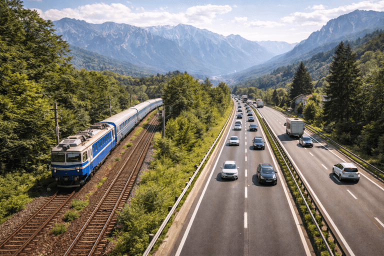
Train or car?
Rail is practical for the six places on the main corridor. Valea Doftanei requires a separate road connection.
Plan Prahova Valley without a car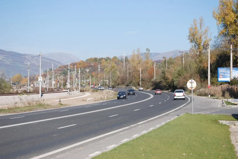
Traffic can change the plan
A short distance on the map can still mean a long drive during busy periods.
How to get to Prahova Valley
A hiking route needs more than a map
Use the regional map for orientation, then read the full trail guide and check current mountain conditions.
Hiking in Prahova Valley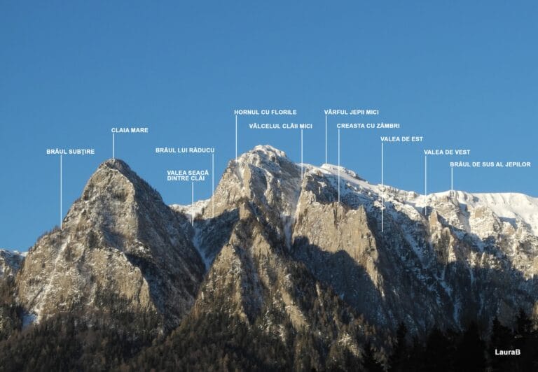
Elevation matters
Steep mountain routes cannot be judged by distance alone.
See hiking trails in Busteni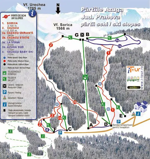
Ski areas need their own map
In Azuga, Busteni, Sinaia and Predeal, ski areas should be planned separately from the road map.
Skiing in Prahova ValleyBefore you leave
Pair the map with information that can change
Traffic, weather, parking and cable-car operations can change. Check the relevant source as close as possible to departure.
Access and mobility
Plan the route and the final segment to your destination.
At your destination
Check current operating information before relying on a mountain or seasonal activity.
Where to stay and eat
Once you choose an area, narrow down nearby accommodation and restaurants.
Practical questions
How to use the Prahova Valley map
Which places are shown on the map?
Breaza, Comarnic, Sinaia, Busteni, Azuga, Predeal and Valea Doftanei. The first six follow the DN1 and railway corridor; Valea Doftanei is the eastern branch and has no railway station of its own.
Where does an attraction route start?
The route card names the reference point used as the start. Distance and time are indicative and can differ from your actual hotel, station or parking location.
What do driving, walking and mixed access mean?
A driving route follows routable roads. A walking route is calculated for pedestrian access. With mixed access, the routable section stops before the landmark and the final connector is dotted and must be checked separately.
Can I use the map route as a mountain trail guide?
Only for general orientation. Landmarks without direct road access are marked as walking or mountain access. For Babele, the Sphinx, Caraiman Cross, Seven Ladders Canyon and other trails, use the dedicated guide and check trail markings, weather, equipment and restrictions.
Does the Prahova Valley map work on mobile?
Yes. You can choose the area and attraction from the menus or the list below the map. Touch panning is disabled at first so you can scroll the page without the map capturing the gesture.
Why does not every attraction have its own link?
Only English pages included in the current portal structure are linked. Other landmarks remain visible with their name, position and route, without inventing an English URL.
Can I reach Valea Doftanei by train?
Valea Doftanei has no railway station of its own. The final part of the journey is road-based, usually approached from the Campina area or with a pre-arranged local transfer.
Why can the displayed route and time differ?
Route geometry comes from map data and can be affected by roadworks, seasonal access, closed paths or local changes. Check current conditions before relying on it.
Found the place you need?
After choosing a point on the Prahova Valley map, continue with the relevant destination guide and confirm access, operating conditions and where you plan to stay.