
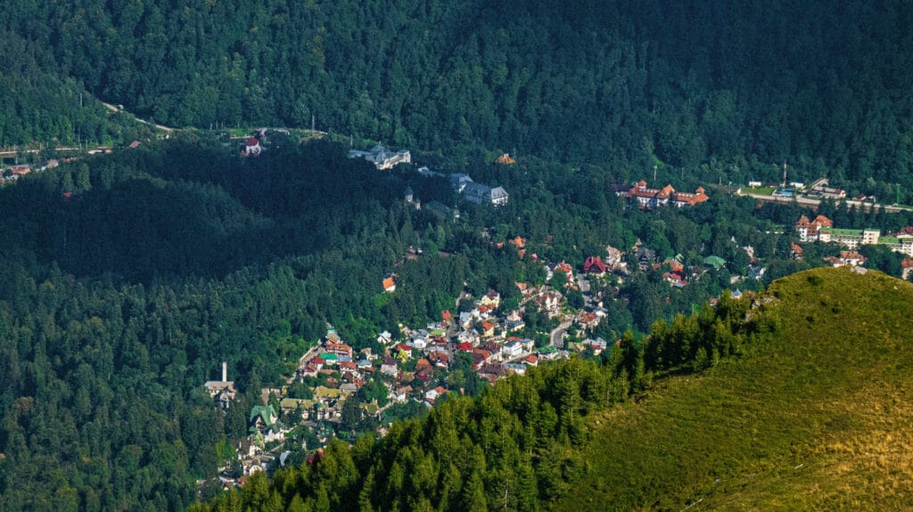
Hiking trails in Sinaia: routes, GPX maps and Bucegi access
Sinaia gives you three very different ways to hike: forest trails from town, cable-assisted walks around Cota 2000, and long mountain days towards Piatra Arsă, Babele and Omu. Compare the routes first, then check weather, cable-car operation and Salvamont warnings on the morning you leave.
Three practical ways to hike from Sinaia
A trail that looks close on a map can still involve a large climb or exposed plateau terrain. Separate the approach, the actual hike and the return plan before comparing times.
Affiliate disclosure: a few equipment examples use affiliate links. They are included only where the item has a clear practical role and do not replace route checks, preparation or mountain-rescue advice.
Poiana Stânii Regale is a sensible shorter option when you do not want a full plateau day. If showers are possible, a compact FORCLAZ 50 rain poncho can be a useful backup, but it does not compensate for poor footwear or severe weather.
From Cota 2000 you can continue towards Vârful cu Dor Saddle, Piatra Arsă or Babele, but the terrain is fully exposed. A light HIKE 100 neck gaiter is easy to keep within reach when wind and temperature change quickly.
Sinaia – Piatra Arsă involves substantial climbing and needs an early start. For prolonged walking, this two-pair Hike 100 sock set is one comparison point, provided the size and material suit your footwear.
Autumn in Sinaia needs a different timetable from summer
Shorter daylight, colder plateau temperatures and faster weather changes matter more than the colour of the forest. Poiana Stânii Regale, Cota 2000 and Piatra Arsă can feel like different seasons on the same day.
Compare Sinaia hiking trails before choosing one
The GPX distances below belong to the portal’s downloadable tracks. Where Salvamont publishes a longer homologated route rather than the exact segment shown here, that distinction is stated explicitly.
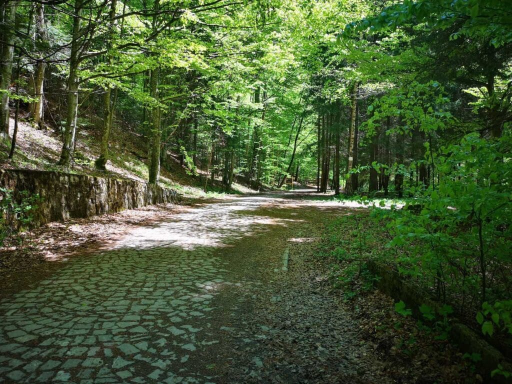
Poiana Stânii Regale
A shorter forest outing close to Sinaia. On mud or soft snow, KADVA Nego gaiters may help keep debris and moisture out of the top of your boots, but they do not provide grip on ice.
Important: the official 2–2.5 h figure refers to the Poiana Țapului – Valea Babei – Poiana Stânii route, not automatically to this exact GPX track.
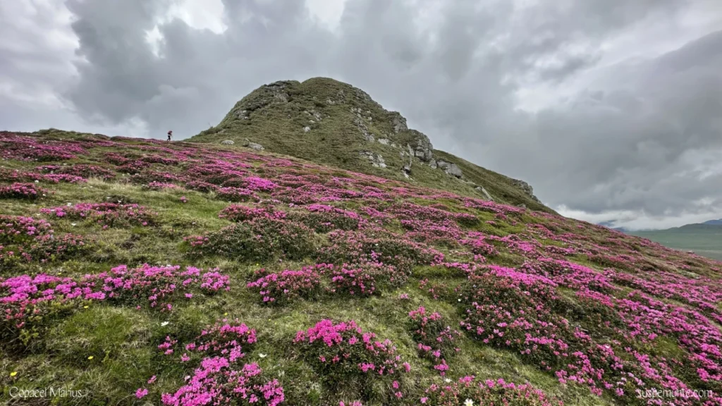
Cota 2000 – Vârful cu Dor Saddle
The walk is short, but the exposure is real. Access depends on the mountain transport operating and on conditions at altitude. In strong light, category 3 MH530 hiking sunglasses are one option to compare.
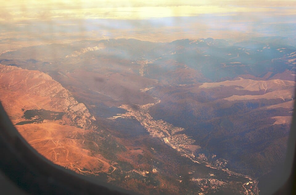
Sinaia – Piatra Arsă
A serious ascent through Poiana Stânii and Piciorul Pietrei Arse. Salvamont’s 6–7 hour figure is for the longer homologated route continuing to Hotel Peștera, not a published time only to Piatra Arsă. On long climbs and descents, adjustable hiking poles can help with rhythm and balance.

Piatra Arsă – Omu Hut
This is a long high-level continuation rather than a casual walk from a cable-car station. Salvamont’s 5–6 hour figure belongs to the full route from the former Vârful cu Dor hut area through Cota 2000, Piatra Arsă and Babele to Omu, not this segment alone. A 750 ml bottle may be convenient, but it is not automatically enough water for the day.

Piatra Arsă – Babele & Sphinx
A plateau segment towards Babele and the Bucegi Sphinx. Its separate duration is not published in the Salvamont table used here, and visibility can collapse quickly in fog. A multifunction whistle with compass may complement a personal kit, but it does not replace a proper map and navigation skills.
Turn the route into a workable day
For long hikes, the practical details around the trail matter almost as much as the trail itself.
Some linked English pages belong to the planned 50-page launch set and may be temporarily unavailable until their publication step is completed.
GPX map and elevation profile
Choose one of the five downloadable routes. The map loads only when you ask for it, which keeps the page lighter on mobile.
Leaflet and OpenStreetMap tiles load only after you press the button.
Elevation profiles and ascent figures are estimates derived from the GPX tracks. Keep an offline map and follow current trail markings in the field.
What Salvamont currently publishes for Sinaia-area routes
These are planning figures from Salvamont Prahova’s homologated-route table. They are not live trail-status guarantees.
Sinaia – Poiana Stânii – Piatra Arsă – Hotel Peștera
Salvamont Prahova route 16.
Sinaia – Cota 1400 – Vârful cu Dor – Valea Dorului – Padina
Salvamont Prahova route 18. Recheck current conditions before leaving.
Vârful cu Dor – Cota 2000 – Piatra Arsă – Babele – Omu
Salvamont Prahova route 19 plus the separate winter-closure warning page.
Cota 2000 – Vârful cu Dor Saddle
Salvamont Prahova route 24.
Vârful cu Dor – Valea Dorului – Blana – Zănoaga
Salvamont Prahova route 17.
Vârful cu Dor – Călugărului Saddle
Salvamont Prahova route 15.
On the plateau, your return plan is part of the route
At Cota 2000 the practical problem is often wind, visibility or temperature rather than what the weather app shows for central Sinaia.
Operations can change. Carry independent light and enough time for a realistic retreat. A compact Onnight 100 headlamp should be tested before the hike.
Do not assume water will be available along a long plateau route.
Salvamont lists the Poiana Stânii–Piatra Arsă sector and several routes towards Omu as closed wholly or partly in winter.
Use marked trails, travel during daylight, keep dogs leashed and follow the Bucegi Natural Park bear-safety guidance rather than improvising around wildlife.
Pack for the route you actually chose
A short Cota 2000 walk and a long ascent to Piatra Arsă do not need the same load. Water, warmth, rain protection, navigation and light should be scaled to distance, altitude and forecast.
For a day hike, a 20 L MH100 backpack can be considered as a basic volume for water, layers and personal items. Test the fit before taking a new pack on a long ascent.
Your first-aid kit should match the group and route. This 47-piece first-aid set can be a starting point for basic supplies, but it does not replace personal medication, first-aid knowledge or emergency services.
For a broader overview, return to the Prahova Valley hiking guide and the Bucegi Mountains guide.
Sinaia station, the centre and the mountain transport
Sinaia railway station is close to the town centre, which makes a car-free hiking day realistic. The important detail is what happens next: some routes start from town, while others depend on walking or local transport towards the mountain installations.
If you drive, central and cable-car-area parking can fill quickly on busy weekends. For a long hike, an early start usually matters more than finding the closest possible parking space.
Mountain transport is dynamic. Check the operator on the morning of your hike and do not treat a published timetable as a guarantee that wind or maintenance will not change the day.
Stay in Sinaia for an early start, eat after you come down
For a long mountain day, sleeping in Sinaia removes part of the morning transport risk. After the hike, choose food by where you actually finish rather than adding another detour along DN1.
Start before the crowds
For Sinaia–Piatra Arsă or a long plateau day, staying in town gives you more control over your departure time.
Restaurants near town
After a long hike, compare location, opening hours and booking options, especially on summer and autumn weekends.
Accommodation and restaurant pages are editorial guides. Commercial or affiliate relationships are identified on the relevant page.
Verified against official sources on 11 August 2026
Times and winter restrictions are planning references. Weather, warnings and cable operation must still be checked again on the day.
Did you notice something that needs checking?
Trail markings, access, water sources and path conditions can change. A recent, specific observation helps us verify the guide before updating it.
Contribute to the Sinaia hiking guide
Send a correction, a field photo or a GPX file. Reports are checked against available sources before publication.
Do not use this form for emergencies. For an accident, a missing person or immediate danger, call 112 or Salvamont Prahova dispatch on +40 244 311 922. This form is not monitored continuously.
Send a field reportCorrection, photo or GPX file.
Fields marked * are required. Name and email are used only if clarification is needed.
Questions before hiking in Sinaia
What is a shorter hike close to Sinaia?
Poiana Stânii Regale is one option close to town. Salvamont lists the homologated Poiana Țapului – Valea Babei – Poiana Stânii route at 2–2.5 hours with low difficulty; that figure should not be applied automatically to every GPX variation from Sinaia.
How long does the Sinaia – Piatra Arsă hike take?
Salvamont publishes 6–7 hours for the full Sinaia – Poiana Stânii – Piatra Arsă – Hotel Peștera route. The table does not publish a separate official time only to Piatra Arsă.
Can I start a Sinaia hike without a car?
Yes. Sinaia railway station is close to the centre, but the distance from the station to the actual trailhead or mountain installation depends on the route you choose.
Is a GPX file enough for navigation?
No. Treat GPX as one navigation aid. Keep an offline map, follow marked trails and turn back if visibility or conditions make orientation unreliable.
Which Sinaia-area trails are closed in winter?
Among the routes relevant to this page, Salvamont lists the Poiana Stânii–Piatra Arsă sector and the Vârful cu Dor–Călugărului Saddle route as closed in winter, while additional Bucegi routes have full or partial closures. Check the current official warnings before leaving.
Do I need a Bucegi Natural Park ticket?
The park currently lists a 10 RON visitor ticket for people aged 14 and over, valid for 90 days, with children under 14 free. Because fees can change, verify the official ticket page before your visit.
Choose the trail, then check the mountain again
Sinaia makes it easy to mix town access, cable transport and high-level hiking, but those options should never be confused with guaranteed conditions. Download the GPX, check Salvamont and leave enough time to turn around.
Official-source check: 11 August 2026 · Conditions must be checked again on the day of the hike.