
Jepii Mari Trail: route, difficulty and safety
Jepii Mari is a demanding climb from Bușteni towards the Bucegi Plateau. Before setting off, check the trail conditions, the weather at altitude and how you intend to descend.
How difficult Jepii Mari really is
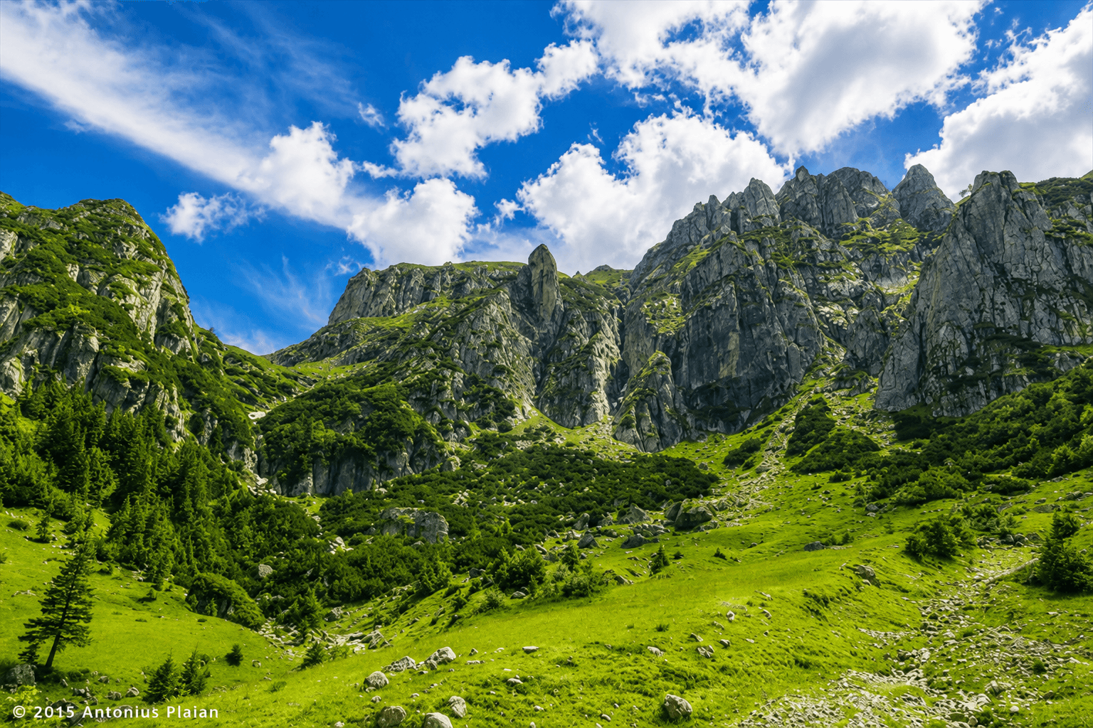
Jepii Mari is one of the classic ascents from Bușteni to the Bucegi plateau. It is sometimes described as moderate because it is less technical than the neighbouring Jepii Mici route. That can be misleading. A hike that climbs roughly one thousand metres from the valley demands considerable stamina, even when there are no particularly difficult climbing manoeuvres.
Most route accounts give around three to four hours for the ascent from Bușteni towards the Piatra Arsă area in favourable snow-free conditions. The time changes with fitness, breaks, weather and any detours. Walking back down can add several more hours, while a longer circuit across the plateau is an entirely different undertaking. Do not read the ascent time as a complete round-trip duration.
This is not a family stroll, a running shortcut or a recommended route for a visitor with unsuitable footwear. It is a full mountain hike. Good physical condition, confident movement on steep terrain and the ability to navigate a marked trail are more important than the fact that the trail begins close to a popular resort.
Where the route begins in Bușteni
The approach begins near the top of Strada Telecabinei, in the area associated with the lower Bușteni cable-car station. Several popular routes start nearby, so look at the signboards before entering the forest. Jepii Mari follows a blue-triangle marking, while the routes towards Jepii Mici and Urlătoarea Waterfall should not be confused with it.
Bușteni railway station is in the town below the mountain-side trailhead. Route descriptions that begin at the forest sign may not include the walk from the station, even though that approach adds time and elevation. If you are arriving from Bucharest by train, plan the last connection and the return journey before selecting a departure.
Drivers should park lawfully in a suitable area rather than blocking a private road or cable-car access. A full car park does not justify leaving a vehicle on a corner or walking lane. If there is a posted route closure, do not bypass the barrier simply because older map data continues to show the trail.
Following the blue triangle on Poteca Schiel
The Jepii Mari route is often called Poteca Schiel. From the common entrance area it begins climbing through the forest, with sections of sustained gradient and numerous turns. Watch the blue-triangle symbols on trees and rocks. A coloured stripe or dot is not a substitute marking: different shapes can lead to different destinations.
As the trail rises, forest alternates with openings and steeper terrain. Some route descriptions identify the area of Cantonul Schiel before the continuation towards Cabana Piatra Arsă. Because the path has multiple junctions and other informal tracks, use a current detailed map and check the next official marker before changing direction.
Do not rely only on a GPX line drawn across your phone. Mountain terrain can cause errors in GPS position, and an unmarked path may appear deceptively close to the intended route. If the marking becomes unclear, stop and establish your position. Taking an unknown shortcut is particularly risky when mist reduces visibility or daylight is running out.
The climb to the plateau
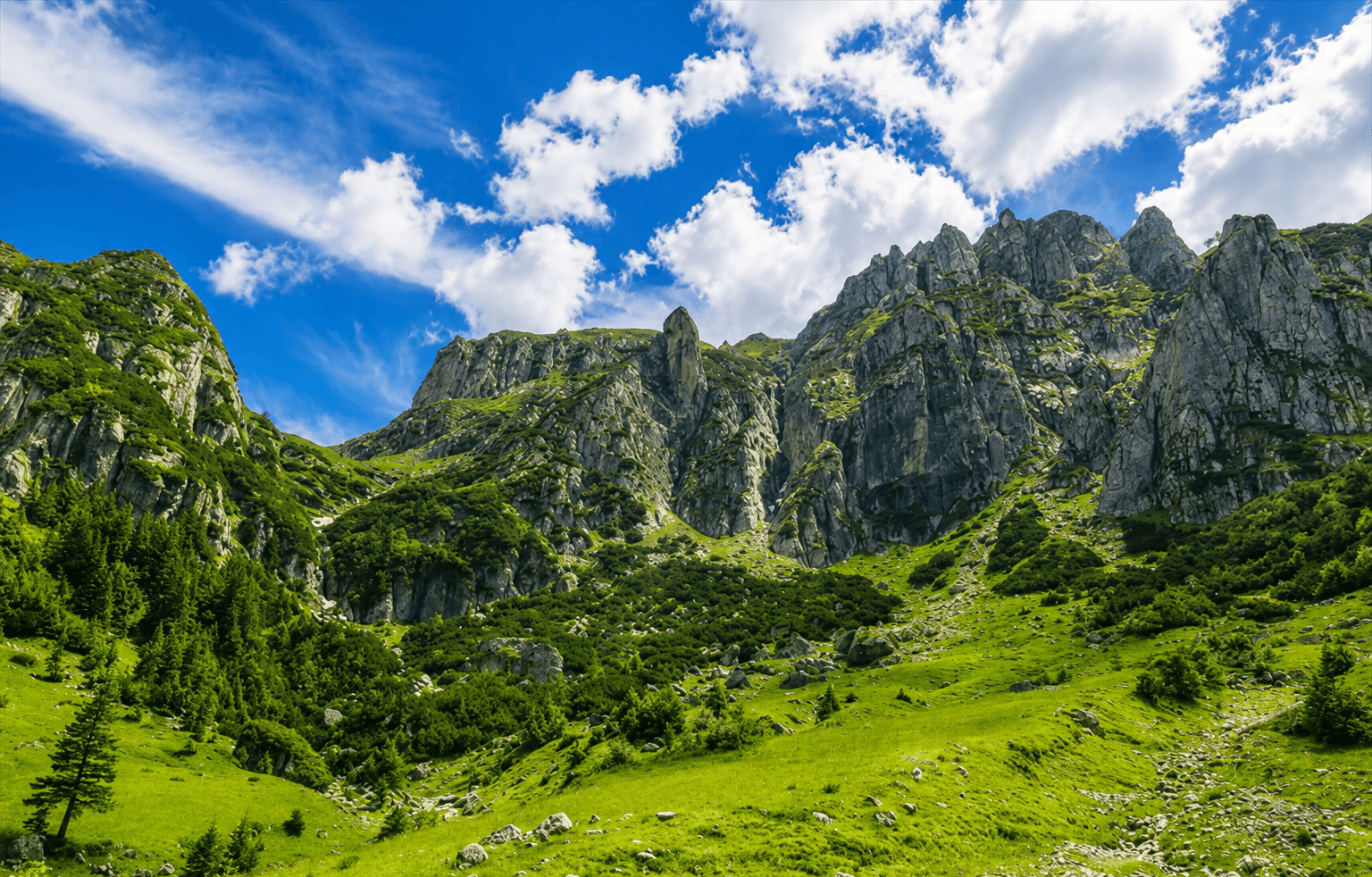
Jepii Mari climbs from the lower Bucegi slopes towards the higher terrain around Piatra Arsă. The sustained ascent is the defining difficulty. Parts can feel repetitive under the trees, and it is tempting to walk too quickly early on. Pace yourself so that you still have energy for the upper sections and the return plan.
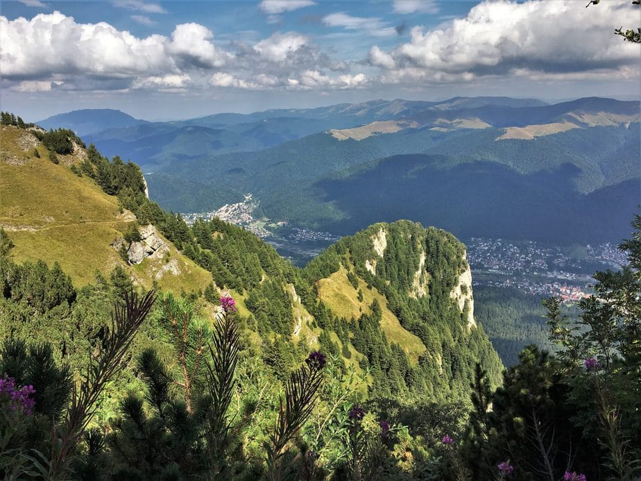
Higher up, the scenery opens to wider views across Valea Prahovei and the Baiului mountains. The view is rewarding, but exposure to wind and temperature changes grows as the tree cover thins. A pleasant morning in Bușteni is no guarantee of comfortable conditions on the plateau. Carry another layer even when starting in warm weather.
Do not assume that seeing buildings on the plateau means you are already safe or finished. There may still be a walk to your intended destination, and you must decide how to descend. The last part of a long climb is not the right moment to create an additional itinerary towards Babele or another summit without the time and equipment to support it.
Jepii Mari versus Jepii Mici
The names are similar, and both routes lead from the Bușteni area into the Bucegi, but they are not interchangeable. Jepii Mici is generally regarded as the more technical and exposed option, with sections where terrain and fixed aids can make conditions especially serious. Jepii Mari is commonly considered less technical, yet the length and elevation gain make it a strenuous ascent in its own right.
Never use the phrase “easier than Jepii Mici” as the only basis for choosing Jepii Mari. A demanding route does not become suitable for a novice simply because an even harder route exists nearby. Compare your actual fitness, ability to move safely downhill, experience in mountain weather and comfort using marked trails.
If you want an easier forest experience, consider a shorter lower route, such as the walk to Urlătoarea Waterfall when conditions are suitable. That outing still has natural terrain and wildlife considerations, but it does not demand the same climb towards the plateau. Matching the route to the group is more important than reaching a famous mountain name.
Planning the return before you start
Decide your descent route and timing before climbing. Returning by the same route is physically demanding on knees and feet after the ascent, especially on wet ground. Some experienced hikers combine the climb with other marked plateau routes or a cable-car descent, but any such plan depends on separate distances, operating status and suitable conditions.
A functioning cable car must never be assumed. Strong wind, maintenance or the last operating departure can leave a visitor without the anticipated ride. If you rely on an installation, verify the operator’s current notice and keep a safe alternative plan. Do not attempt a closed or more technical route simply because you missed a cabin.
Descending in darkness adds serious navigation and injury risks. Start early enough for the full day, carry a headlamp and set a definite turnaround time. If the climb takes longer than planned, turn back while there is still a safe margin instead of pressing on to the plateau only to discover that you cannot return comfortably.
Seasonal conditions and winter closure
Jepii Mari is primarily a snow-free-season hike for suitably prepared walkers. Historic route accounts describe the trail as closed in winter, and current local closure notices must be checked before departure. Snow, ice and avalanche conditions can change the risk profile completely. A route that a fit hiker manages in September may be unsafe for the same person in January.
Even in summer, thunderstorms can make exposed upper ground hazardous. Wind, cold and fog may arrive while the valley remains sunny. Watch the forecast for higher elevations, not only Bușteni’s temperature. If storms or poor visibility are likely, do not begin a long ascent hoping that conditions will improve by the time you reach the plateau.
Autumn offers beautiful colours and sometimes clear air, but daylight is shorter and shaded surfaces can be wet or icy. Late starts are especially unwise. Respect closures, avoid bypassing damaged sections and seek current advice from Salvamont and the protected-area authority when conditions are uncertain.
Equipment and water for a long ascent
Wear proper hiking boots or shoes with reliable grip. Carry weather protection, a warm layer, a headlamp, a charged phone, navigation backup and a small first-aid kit. A route of this length needs sufficient water and food for the full day. Do not assume that every higher building or mountain chalet will be open or able to provide drinking water.
Plan for slower progress than a published estimate if carrying a heavy backpack or travelling with someone less experienced. Keep the load manageable, but do not remove important safety items to make the pack lighter. An offline map and a power bank can help when mobile signal is limited, though neither replaces attention to actual trail markings.
Tell someone your planned route, intended endpoint and expected return time. Walk with a capable companion where possible and avoid splitting the group at a junction. A long steep route is an unwise place for an inexperienced person to attempt to prove they can keep up with a faster group.
Protected mountain terrain and wildlife
The Bucegi area is a protected mountain environment with wildlife, including bears. Stay on marked trails and leave no food or rubbish. Do not approach animals for photographs and keep dogs under control. An encounter near a popular path remains a wildlife encounter; the presence of other walkers does not make it safe to feed or corner an animal.
Do not trample vegetation to create shortcuts across steep slopes. Off-trail movement can cause erosion and lead you into unstable terrain, especially where the trail curves to avoid a difficult section. What looks like a shorter line may be significantly harder or more dangerous than the marked path.
Respect any area closures, environmental signage and mountain rescue advice. Changes in route status can result from landslides, storm damage, wildlife management or other reasons. The goal is a safe and enjoyable climb, not completing an itinerary at any cost.
What to do when the day goes wrong
If someone is injured or the group cannot continue safely, call 112 for an emergency. The national Salvamont dispatcher number is 0725 826 668. Give the trail name, last confirmed marking, approximate elevation, number of people, condition of any injured person and coordinates if available. Follow the dispatcher’s instructions rather than improvising a dangerous descent.
Do not separate inexperienced walkers in an attempt to find help. Keep the group together where safe, protect people from cold and conserve phone battery for communication. If visibility disappears, stop and identify your position rather than continuing blindly onto a different track.
For routine planning rather than emergencies, consult official trail and weather information before departure. Our mountain rescue guide covers preparation and the information a dispatcher may need. If you are unsure that Jepii Mari suits your group, choose a lower walk rather than trying to test your ability on the mountain.
Sources and route references
Trail access, weather and local conditions can change. Check the route in the field and follow official notices before hiking.